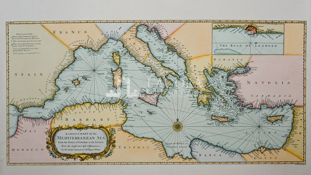
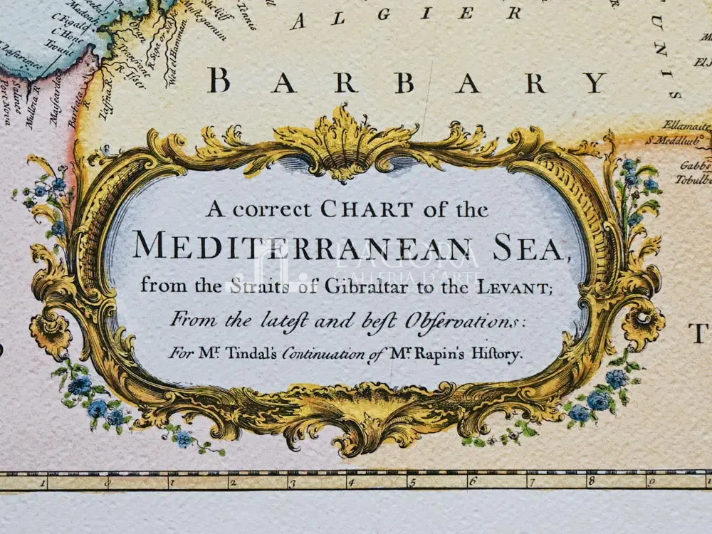
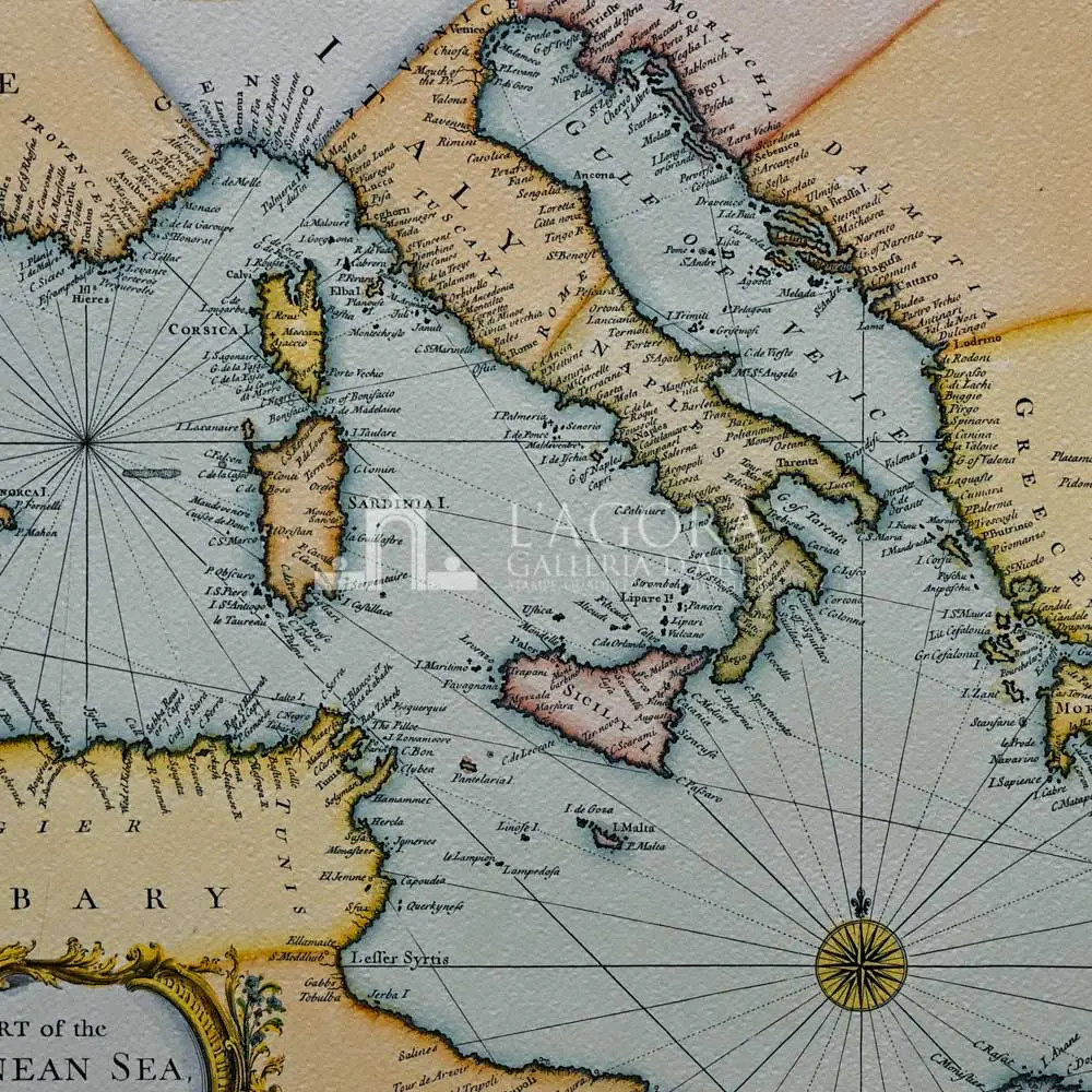
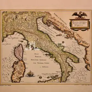
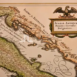
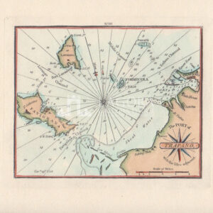
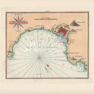
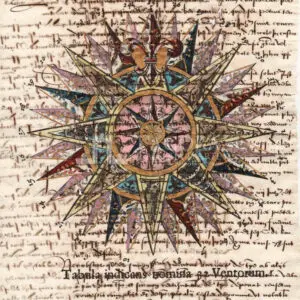
Nautical map of the Mediterranean Sea
SKU
(srm-c-015) Carta nautica del Mediterraneo
Categories Artisanal Reproductions, Artisanal Reproductions - Maps
Tags Artisanal maps, Artisanal Reproductions, boating, Livorno, Mediterranean Sea, Mediterranean Sea, navigation
Nautical map of the Mediterranean Sea
€145
Artisanal reproduction of an antique map of the Mediterranean Sea from 1745 by Richard William Seale
Author: Artisan
Year: New
Size: L 76 x H 56 cm / L 29.92 x H 22.05 in
Technique: Print and watercolour by hand on cotton paper
In stock (can be backordered)
Get in touch for more information
Contattaci
Shipping
Shipping times take between 5 and 7 working days. If the product is out of stock, it will take between 20 and 30 days.
Free shipping for purchases of at least €300
Read more
Right of withdrawal
The private buyer who buys a good online or at a distance can return it and get a refund of the amount paid, exercising the right of withdrawal within fourteen days of delivery and/or receipt of the goods.
Read more
SKU
(srm-c-015) Carta nautica del Mediterraneo
Categories Artisanal Reproductions, Artisanal Reproductions - Maps
Tags Artisanal maps, Artisanal Reproductions, boating, Livorno, Mediterranean Sea, Mediterranean Sea, navigation

