PLAN OF THE HARBOUR OF LAMPEDUSA
SKU
(sam-063) PLAN OF THE HARBOUR OF LAMPEDUSA
Categories Antique prints, Antique Prints Maps, Unique pieces
Tags antique map, imago siciliae, Lampedusa, Mediterranean Sea, Mediterranean Sea, Sicily antique map
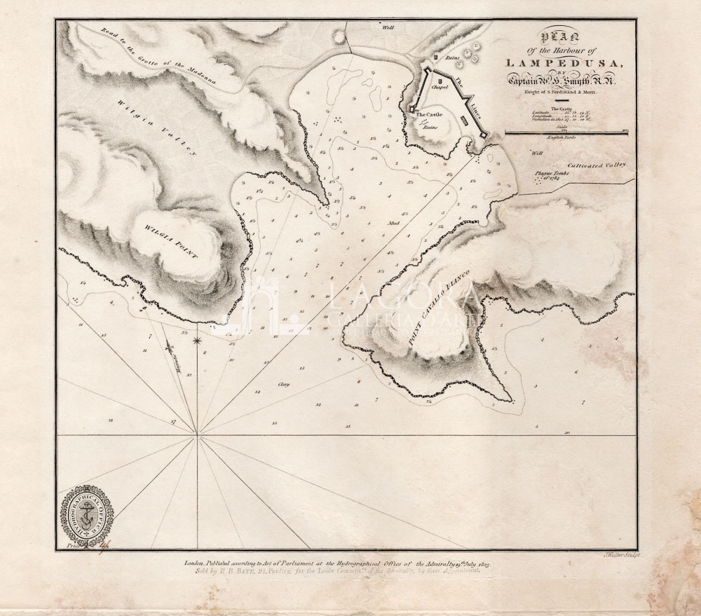
PLAN OF THE HARBOUR OF LAMPEDUSA
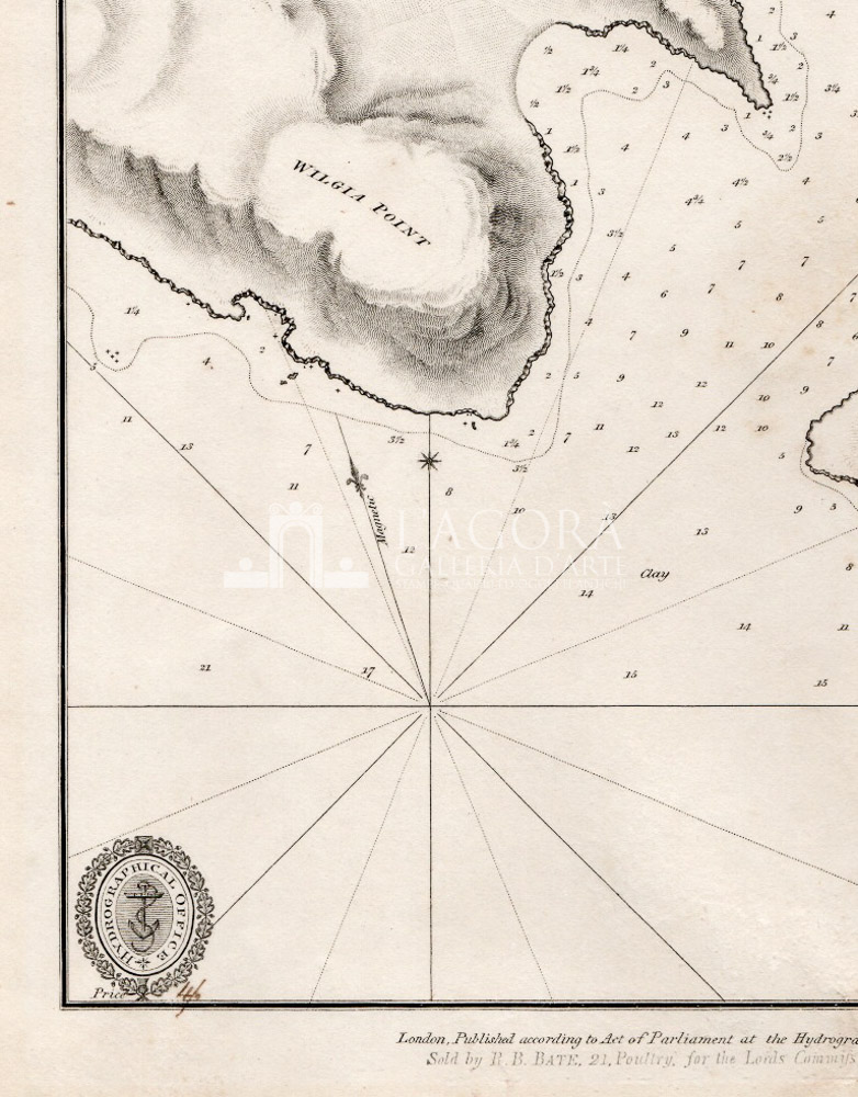
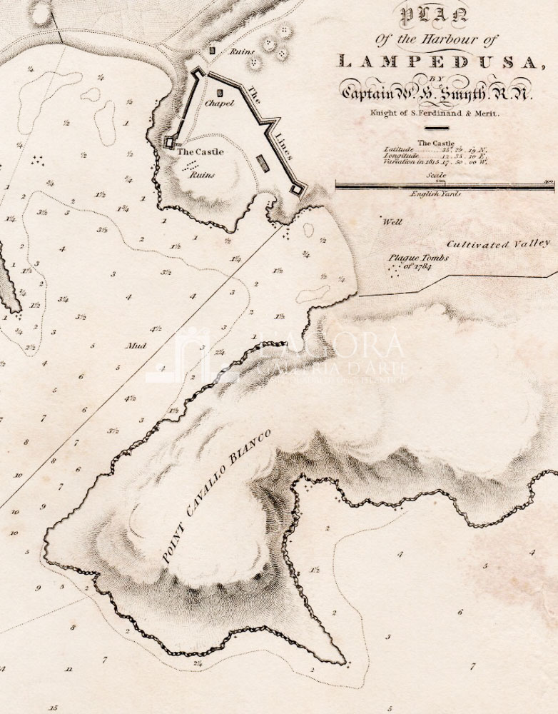
Dettagliata carta nautica del Porto di Lampedusa da Punta Gutgia fino a Punta Cavallo Bianco, ricca di rilevamenti e profondità marine. L’ammiraglio Smith, esploratore e studioso eclettico fu uno dei principali cartografi marittimi dei primi dell Ottocento. La carta è tratta dall’atlante “ The Hydrography of Sicily, Malta, and Adjacent Islands… ” chiamato dallo stesso atlante “siciliano”.
La particolarità delle sue carte nautiche sta nell’attenzione posta per le fortificazioni come per il castello e la sua sua cinta muraria, evidenziando anche gli aspetti archeologici, o storici, o comunque del paesaggio nel suo complesso.
Autore: Smyth, William Henry (1788 – 1865)
Anno: 1823
Misure: battuta cm H 21 x L 23
Tecnica: Incisione su rame
This item is a one of a kind. Contact us for more information
Contact us
Shipping
Shipping times take between 5 and 7 working days. If the product is out of stock, it will take between 20 and 30 days.
Free shipping for purchases of at least €300
Read more
Right of withdrawal
The private buyer who buys a good online or at a distance can return it and get a refund of the amount paid, exercising the right of withdrawal within fourteen days of delivery and/or receipt of the goods.
Read more
SKU
(sam-063) PLAN OF THE HARBOUR OF LAMPEDUSA
Categories Antique prints, Antique Prints Maps, Unique pieces
Tags antique map, imago siciliae, Lampedusa, Mediterranean Sea, Mediterranean Sea, Sicily antique map


