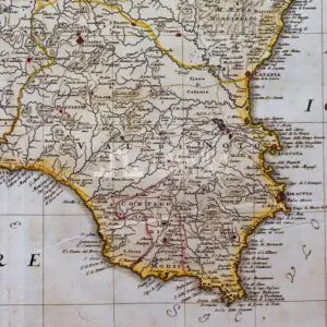
Italy Distinguished according to the Extent, 1721
SKU
(sam-037) Italy Distinguished according to the Extent, 1721
Categories Antique prints, Antique Prints Maps, Unique pieces
Tags antique map, Italy, italy map, Map of Italy
Italy Distinguished according to the Extent, 1721
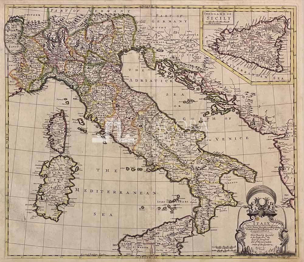
Bellissima mappa dell’Italia, tratta dall’ atlante “A new General Atlas of the World”
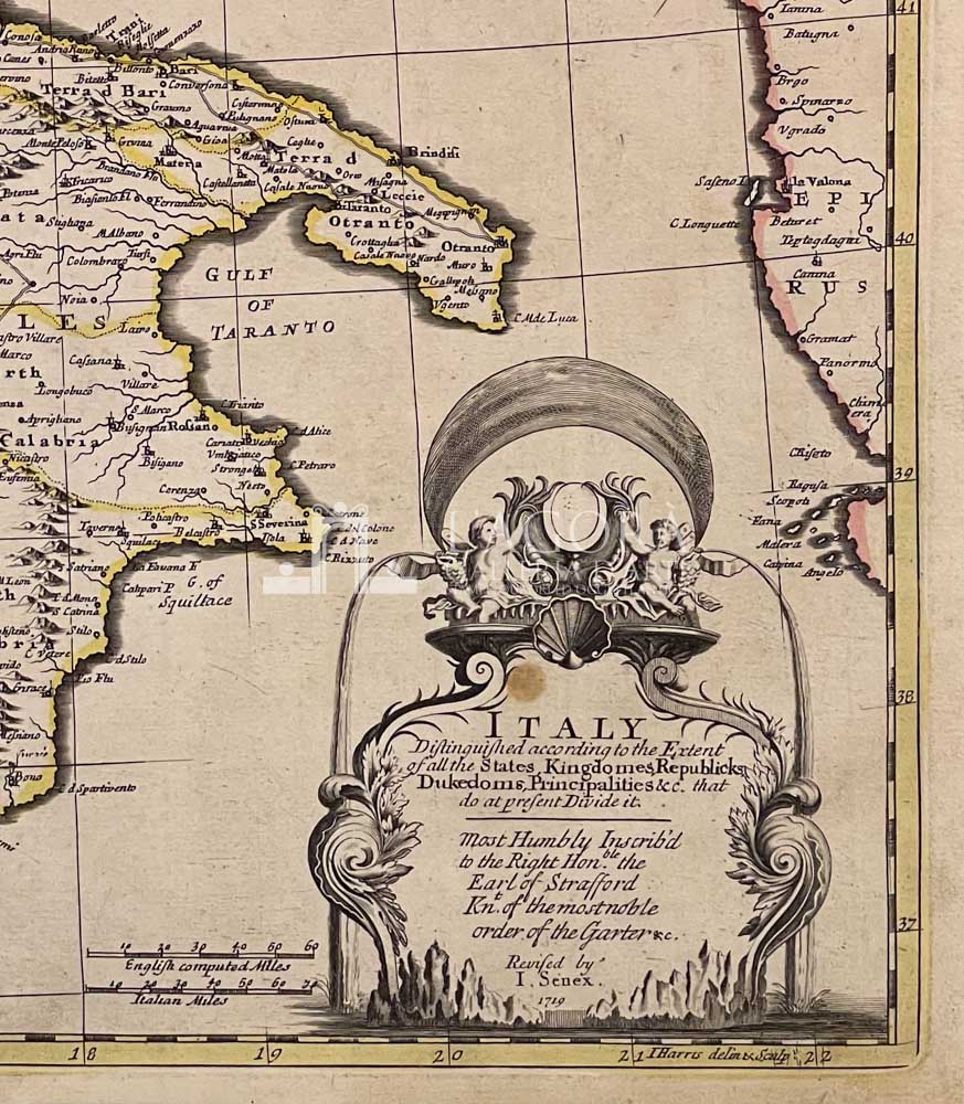
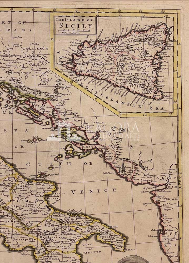
Carta disegnata da John Senex (1690-1740) fu attivo a Londra nel primo trentennio del Settecento. Abile incisore, realizzò carte dell’Italia e della Francia, e pubblicò numerosi atlanti della Gran Bretagna. Il titolo è contenuto nel cartiglio in basso a sinistra, nel quale è anche la dedica. Il disegno della Sicilia è inserito, forse per motivi di spazio in un riquadro in alto a destra ed è dotato di titolo e scala propri.
Testo nel cartiglio:”Italy Distinguished according to the Extent / of all the States, Kingdomes, Republicks, / Dukedoms, Principalities &c. that / to at present Divide it./ Most Humbly Inscribd / to the Right Hon. ble the / Earl of Strafford / Kn. t of the most noble / order of the Garter ec. / Revised by / Senex. 1719″
Author: John Senex (1690-1740)
Year: 1719
Size: cm 56,5 x 49,5 (battuta) / inches 22,25 x 19,49 (line press)
Technique: copper engraving, hand colored
This item is a one of a kind. Contact us for more information
Contact us
Shipping
Shipping times take between 5 and 7 working days. If the product is out of stock, it will take between 20 and 30 days.
Free shipping for purchases of at least €300
Read more
Right of withdrawal
The private buyer who buys a good online or at a distance can return it and get a refund of the amount paid, exercising the right of withdrawal within fourteen days of delivery and/or receipt of the goods.
Read more
SKU
(sam-037) Italy Distinguished according to the Extent, 1721
Categories Antique prints, Antique Prints Maps, Unique pieces
Tags antique map, Italy, italy map, Map of Italy

