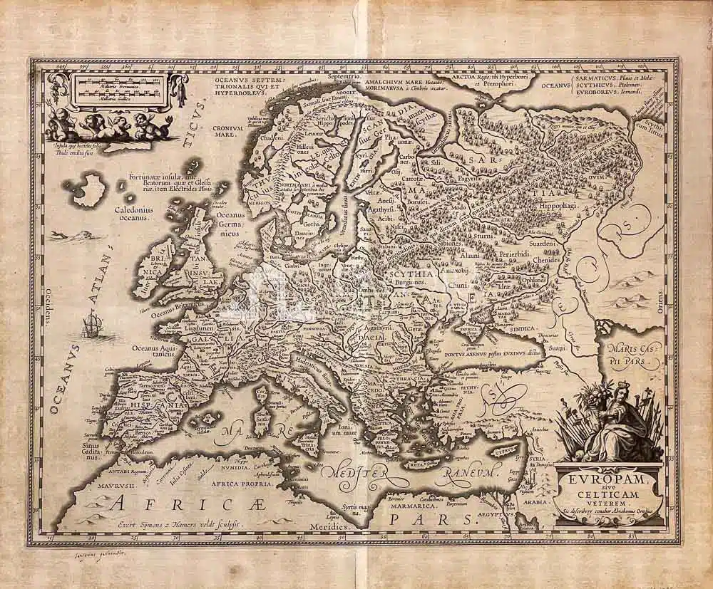
Europam; sive Celiticam Veterem.
SKU
(sam-051) Europam; sive Celiticam Veterem.
Categories Antique prints, Antique Prints Maps, Unique pieces
Tags antique map, Europe, old map
Europam; sive Celiticam Veterem.
Bell’esemplare della mappa “Europa celtica” del Mercator-Hondius.
Essa si basa sullo studio precedente di Abraham Ortelius, apparsa nel suo Atlante “Theatrum Orbis Terrarum, Parergon”
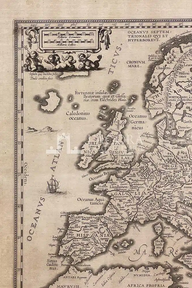
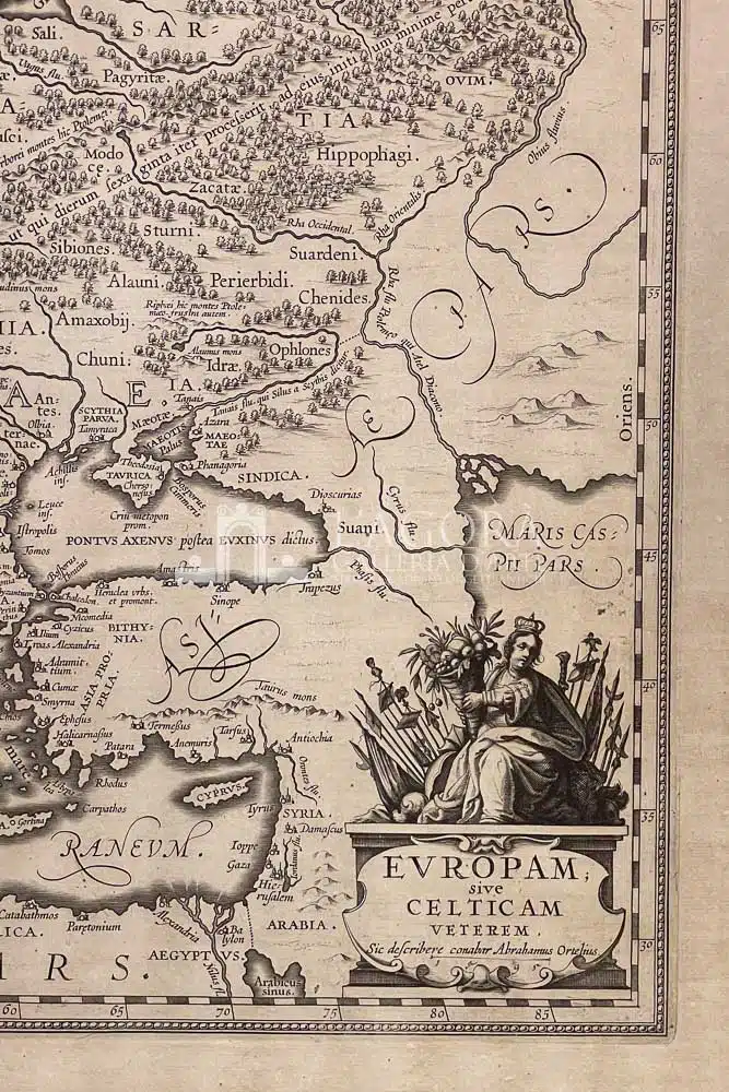
E’ impreziosita da due cartigli, in alto a sinistra con degli angioletti che cavalcano dei mostri marini. In basso la personificazione dell’Europa che tiene una cornucopia in mano. L’ area geografica è molto estesa dalla regione artica al NORD fino alle coste del nord Africa a SUD e dalle colonne di Ercole ad OVEST fino al Mar Caspio ad EST.
Autore: Jan Janssonius (1588-1664)
Anno: 1649
Misure: 35.3 x 47,3 cm (14 x 18,5 inches)
Tecnica: Incisione su rame
This item is a one of a kind. Contact us for more information
Contact us
Shipping
Shipping times take between 5 and 7 working days. If the product is out of stock, it will take between 20 and 30 days.
Free shipping for purchases of at least €300
Read more
Right of withdrawal
The private buyer who buys a good online or at a distance can return it and get a refund of the amount paid, exercising the right of withdrawal within fourteen days of delivery and/or receipt of the goods.
Read more
SKU
(sam-051) Europam; sive Celiticam Veterem.
Categories Antique prints, Antique Prints Maps, Unique pieces
Tags antique map, Europe, old map

