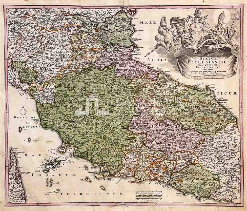
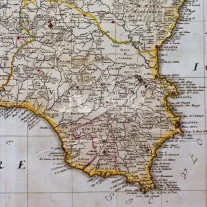
STATUS ECCLESIASTICI MAGNIQUE DUCATUS FLORENTINI NOVA EXHIBITIO
SKU
(sam-054) STATUS ECCLESIASTICI MAGNIQUE DUCATUS FLORENTINI NOVA EXHIBITIO
Categories Antique prints, Antique Prints Maps, Unique pieces
Tags antique map, Gran Ducato di Toscana, homann, old map, Stato Vaticano
STATUS ECCLESIASTICI MAGNIQUE DUCATUS FLORENTINI NOVA EXHIBITIO
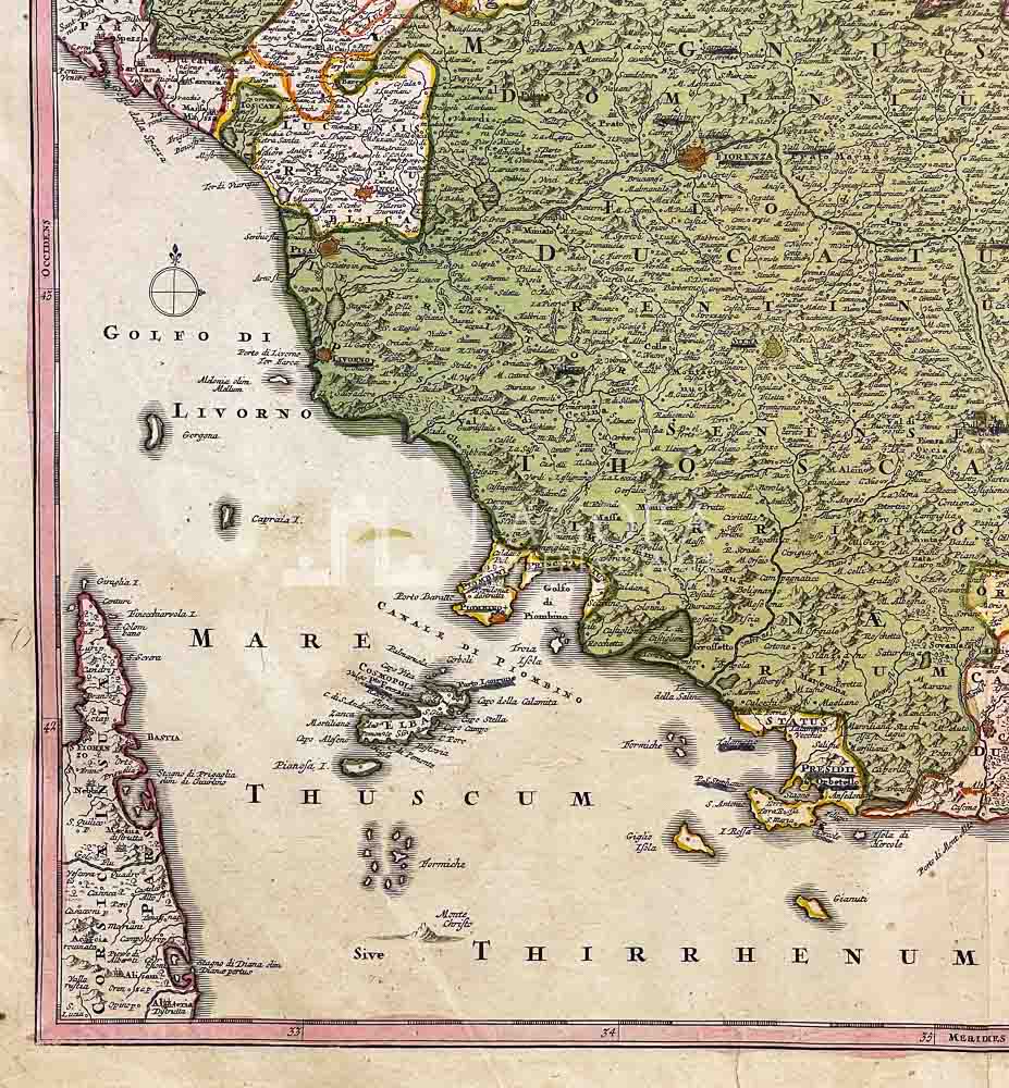
Imponente e dettagliata Carta geografica dell’Italia centrale che dal Ducato di Ferrara a Nord passando per Bologna si allarga nella descrizione dello Stato fiorentino per giungere ai territori dello Stato Vaticano.
Tratta Da “Atlas Novus Terrarum Orbis Imperia Regna et Status Exactis Fabulis Geographice Demonstrans”.
Ricca di informazioni con una dettagliata toponomastica.
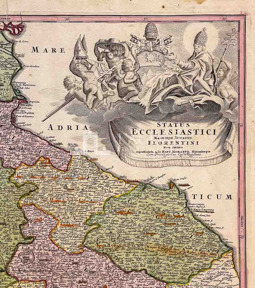
In alto a sinistra un decorativo cartiglio con il titolo e la figura del pontefice circondata da angioletti che sorreggono le insegne papali: un cappello prelatizio, una mitra, una croce papale, una croce pastorale ed una a tre braccia. Al centro lo stemma della famiglia degli Albani di Papa Clemente XI.
In basso al centro troviamo la scala metrica.
Author: Johann Baptist Homann (1663-1724)
Year: 1720
Size: 59 x 49 cm circa
Tecnique: Copper engraving, hand colored
This item is a one of a kind. Contact us for more information
Contact us
Shipping
Shipping times take between 5 and 7 working days. If the product is out of stock, it will take between 20 and 30 days.
Free shipping for purchases of at least €300
Read more
Right of withdrawal
The private buyer who buys a good online or at a distance can return it and get a refund of the amount paid, exercising the right of withdrawal within fourteen days of delivery and/or receipt of the goods.
Read more
SKU
(sam-054) STATUS ECCLESIASTICI MAGNIQUE DUCATUS FLORENTINI NOVA EXHIBITIO
Categories Antique prints, Antique Prints Maps, Unique pieces
Tags antique map, Gran Ducato di Toscana, homann, old map, Stato Vaticano

