Nieuwe Paskaert van de Zee Kusten van’t Eylandt Sicilia … by J. Van Keulen
SKU
(sam-027) Mappa Nautica Johannes Van Keulen
Categories Antique prints, Antique Prints Maps, Unique pieces
Tags antique map, imago siciliae, La Valletta, Malta, Mediterranean Sea, Mediterranean Sea, Sicily antique map
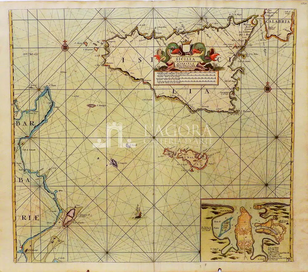
Nieuwe Paskaert van de Zee Kusten van’t Eylandt Sicilia … by J. Van Keulen
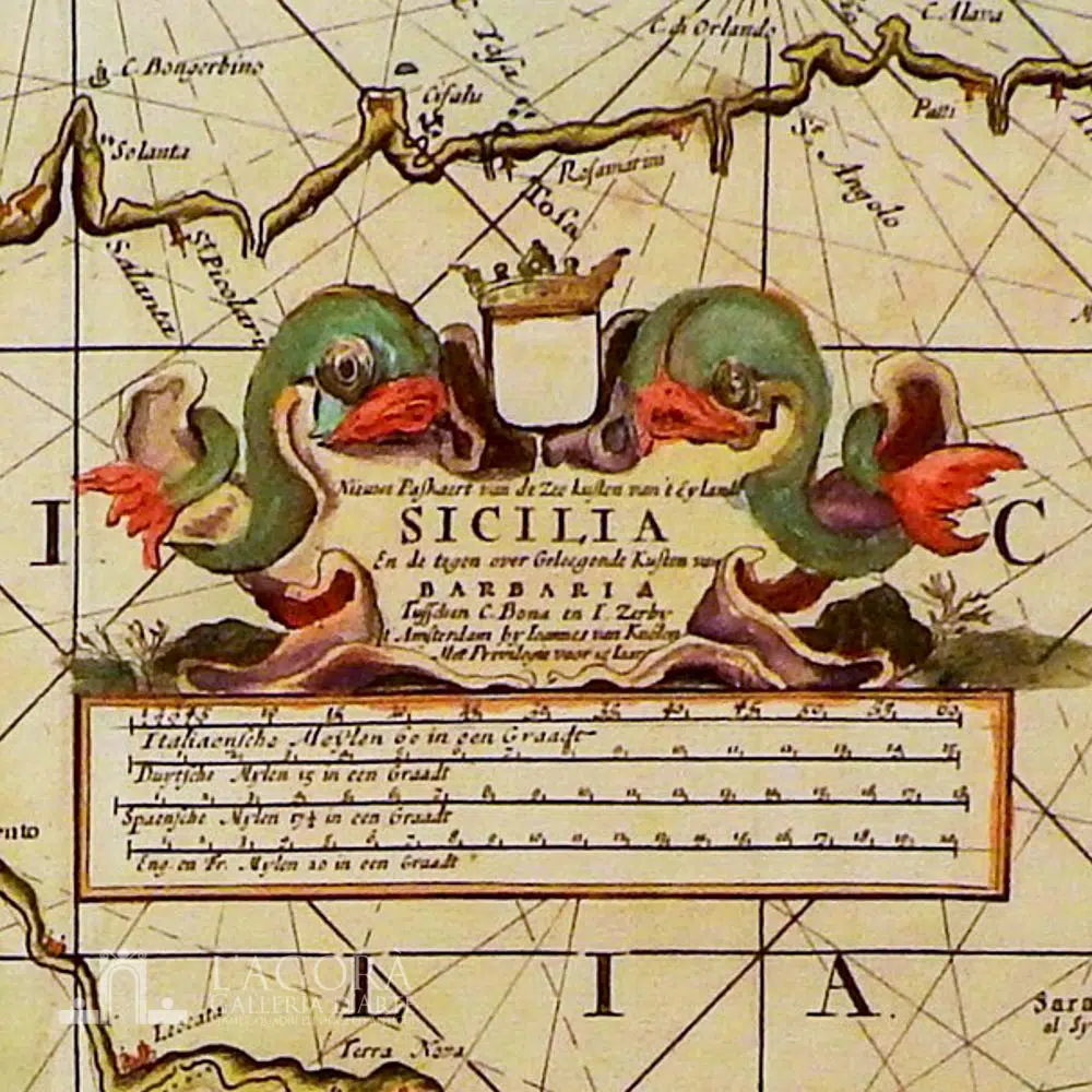
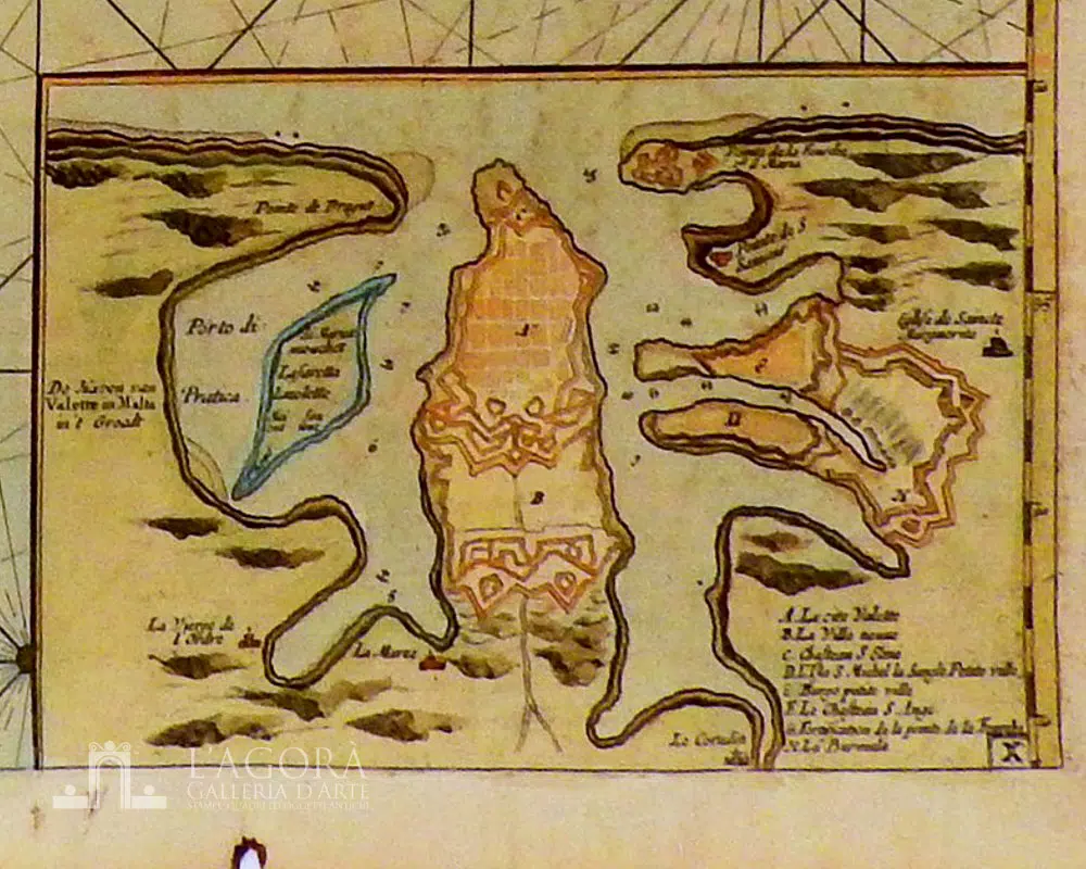
Incisione in rame acquerellata a mano. La carta nautica illustra le rotte ed i porti delle isole bagnate dal canale di Sicilia: Sicilia e Malta. Bel cartiglio figurato in alto al centro della Sicilia con due mostri marini. Buone condizioni con qualche minimo foro. In basso a destra la città La Valletta con i riferimenti strategici per la navigazione.
Autore: Johannes Van Keulen (1654-1715)
Anno: 1697-1709
Misure: battuta cm H 51 x L 59 (19.9 x 23 inches)
Tecnica: Incisione su rame, colorata a mano
This item is a one of a kind. Contact us for more information
Contact us
Shipping
Shipping times take between 5 and 7 working days. If the product is out of stock, it will take between 20 and 30 days.
Free shipping for purchases of at least €300
Read more
Right of withdrawal
The private buyer who buys a good online or at a distance can return it and get a refund of the amount paid, exercising the right of withdrawal within fourteen days of delivery and/or receipt of the goods.
Read more
SKU
(sam-027) Mappa Nautica Johannes Van Keulen
Categories Antique prints, Antique Prints Maps, Unique pieces
Tags antique map, imago siciliae, La Valletta, Malta, Mediterranean Sea, Mediterranean Sea, Sicily antique map

